439
Added Locations
80
Animal Protection Zones
63
Added Obstacles
22
Lunch Break Sites
Aviation Mapping & Collaboration Tools
Essential tools for mapping, coordinates, and aviation community collaboration
Interactive Mapping Tools
Create and manage aviation locations with markers, circles, lines, and polygons. Map obstacles, protection zones, helipads, and landing sites with professional mapping tools.
Explore MapsAviation Hazards & Obstacles
Map aviation hazards, obstacles, and protection zones. Users and authorities can add, edit, and manage safety-critical locations including restricted areas and danger zones.
View LocationsAviation Coordinate Converter
Convert between coordinate formats: Decimal, DMS, DDM, ICAO, UTM, and MGRS. Enhanced with map preview, distance calculator, bearing calculations, and unit converters.
Try ConverterKML Import & Export
Import and export aviation data using KML files. Seamlessly integrate location data from Google Earth, GPS devices, and other aviation mapping software.
Import DataLunch Break Finder
Find restaurants and cafés near airports, airfields, helipads, and landing sites. Perfect for planning lunch breaks during your aviation activities.
Find RestaurantsHeliTool Community
Join our aviation social community. Connect with pilots, add friends, share locations, and collaborate. Build your professional aviation network worldwide.
Join CommunityLatest News & Updates
Stay informed about the latest features, updates, and aviation industry news
 Obstacle
Slacklining: Ein tolles Hobby und Beitrag zur Flugsicherheit
Slackline-Standorte können sich mit Flugrouten von Hubschraubern überschneiden — besonders in Gebirgsregionen und Schluchten, wo …
 Helikopter
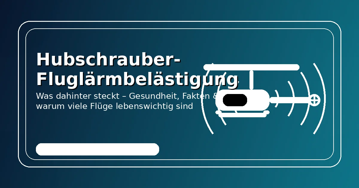
Hubschrauber Fluglärmbelästigung: Was dahinter steckt – und warum viele Flüge wichtig sind
Wie belastend ist Hubschrauberlärm wirklich? Gesundheitliche Auswirkungen, Statistiken, Flugarten – und warum viele Flüge lebenswichtig …
 Safety
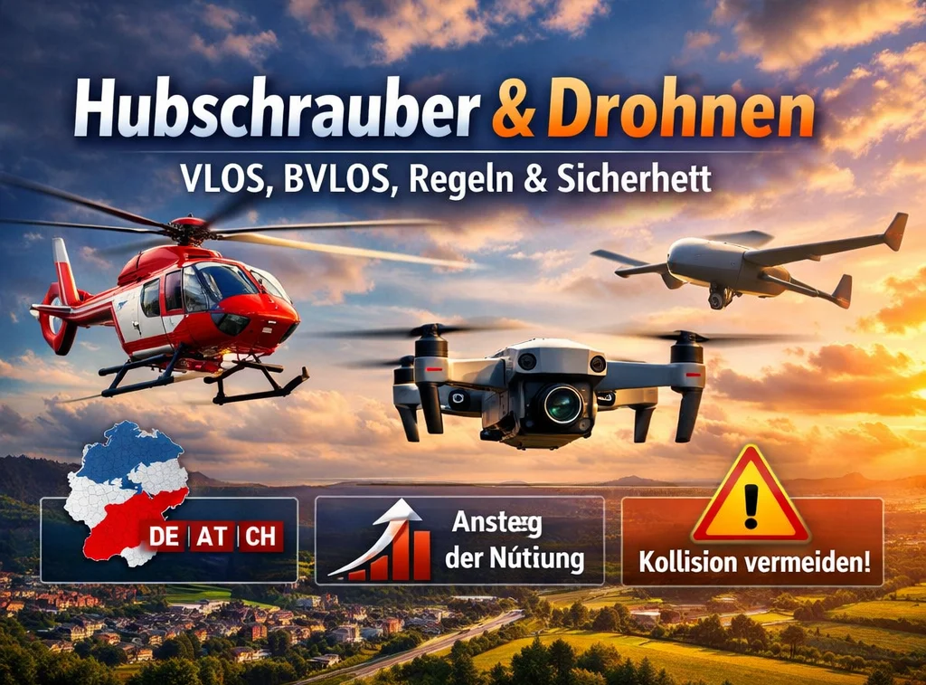
Hubschrauber und Drohnen – sicher koexistieren (VLOS, BVLOS, UAS/UAV)
Drohnen (UAS/UAV) treffen auf Hubschrauber im Tiefflug: BVLOS erklärt, Drohnen-Größen, Einsatzfelder, DACH-Statistiken & klare Sofortmaßnahmen …
 Aviation Tools
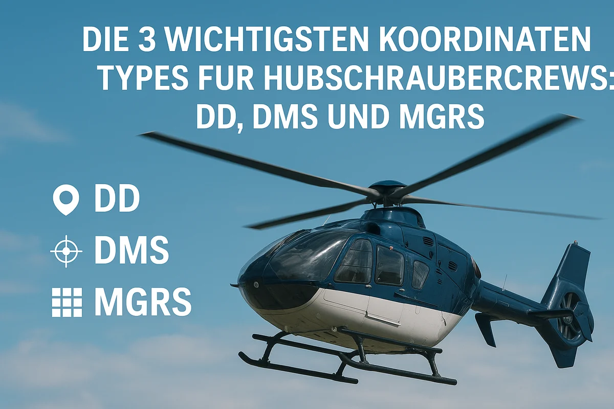
Die 3 wichtigsten Koordinatensysteme für Hubschrauber und ihre Bedeutung
In diesem Blogbeitrag werden wir diese drei Koordinatensysteme erläutern, ihre Unterschiede aufzeigen und erklären, warum …