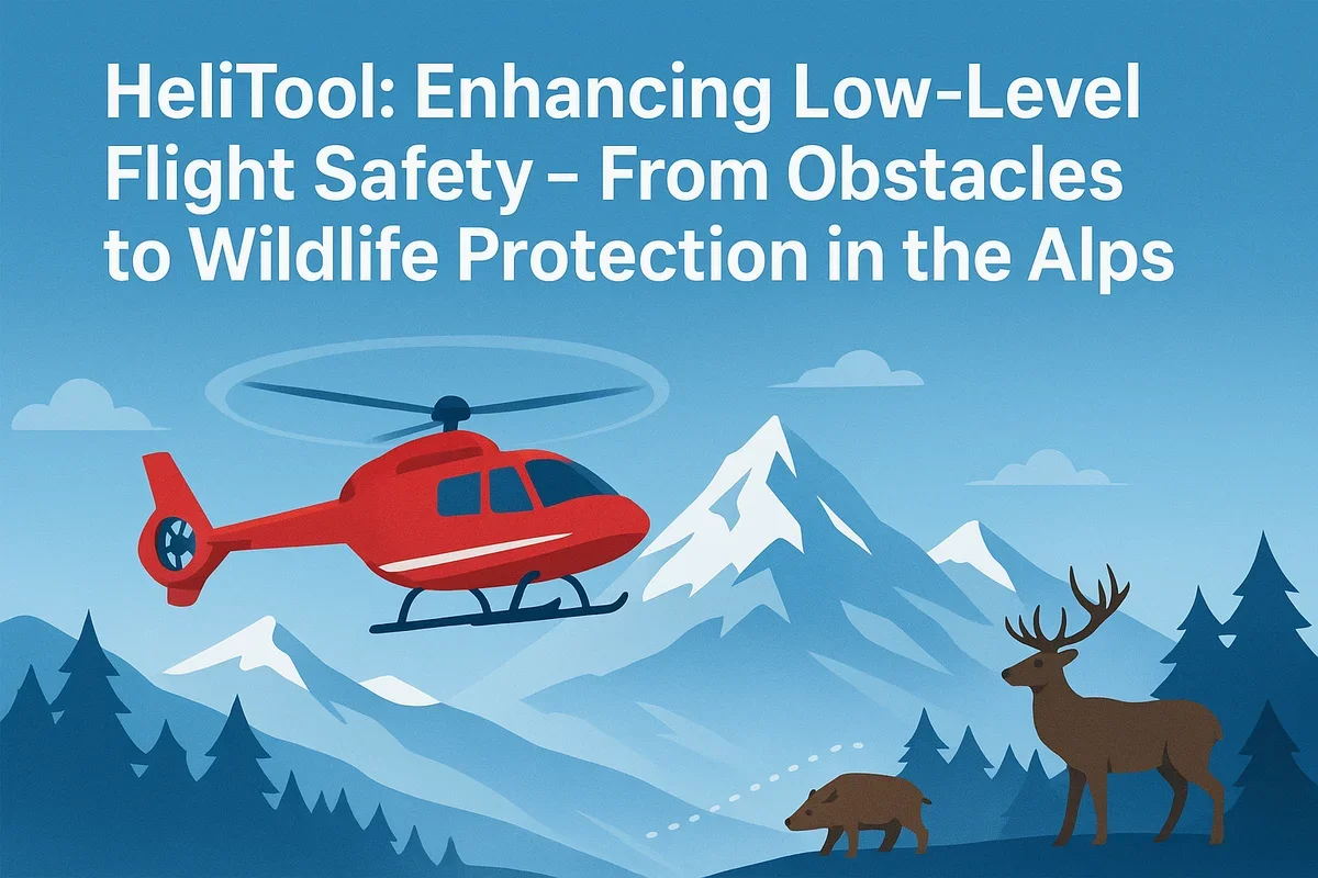
Low-flying Helicopters in the Alps – A Unique Challenge
Low-flying helicopters—whether operated by rescue services, police forces, or military units—frequently navigate the challenging terrain of the Alps. The German Alpine region is particularly complex, with narrow valleys, sudden weather changes, thin air, and hard-to-detect obstacles making low-level flight both demanding and sometimes dangerous.
HeliTool provides a solution by offering a comprehensive set of obstacle data and specialized map layers tailored specifically to the needs of the low-flying community.
Why Open Access to Obstacle Information Matters
A significant portion of obstacles in the Alpine region—such as cableways, material ropes, tall towers, or temporary cranes—are not published through NOTAMs (Notice to Airmen). For crews operating close to the ground, this lack of accessible information increases risk.
At HeliTool, we believe:
Safety-critical data should never be locked behind paywalls or used for profit.
That’s why we make all known obstacles freely available on our platform.
Low Flying in the Alps – Unique Challenges
Flying at low altitude in mountainous terrain demands precision and real-time awareness. Obstacles or wildlife hazards can become critical within seconds. HeliTool supports crews with specialized map layers covering:
1. Conflicts Between Helicopters and Alpine Cattle
In the German Alps, cow panic incidents caused by low-flying helicopters have become a known issue. Startled cattle may flee, injure themselves, damage fences, or harm hikers—creating tension between farmers and airborne operations.
HeliTool maps highlight:
-
Known conflict zones
-
Grazing areas with high sensitivity
-
Locations of previous panic incidents
This helps to:
-
Avoid unnecessary disturbance
-
Reduce stress for animals
-
Promote cooperation between pilots and farmers
2. Eagle Eyries and Bird Protection Zones
The Alps are home to several protected bird species, such as the golden eagle and the peregrine falcon. Flying close to nests can disrupt breeding behavior and endanger ongoing conservation efforts.
HeliTool includes map layers showing:
-
Eagle eyries / nesting sites
-
Sensitive breeding and rearing zones
-
Designated protected bird areas
These layers help pilots operate responsibly and in harmony with Alpine wildlife.
3. Infrastructure and Natural Hazards
The platform also visualizes other critical hazards, including:
-
Cableways and material transport lines
-
Power lines
-
Telecommunications towers
-
Cranes
-
Wind turbines
-
Additional structures that are hard to spot in mountainous terrain
A Unified Platform for Safe Low-Level Flight
Our mission with HeliTool is to deliver a modern, practical, and open source of information for everyone involved in low-level aviation. We aim to build a bridge between flight crews, farmers, environmental organizations, and the broader aviation community.
Safety grows through transparency—not through restricted data.
HeliTool brings this principle to life.

Comments (0)
No comments yet. Be the first to comment!