Aviation
Articles tagged with "Aviation"
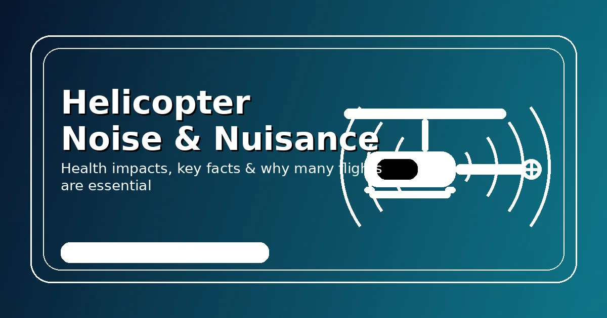
Helicopter Noise & Nuisance: What’s happening — and why many flights are essential
A practical guide to helicopter noise: health impacts, real-world stats, flight types—and why many flights are essential public service.
A practical guide to helicopter noise: health impacts, real-world stats, flight types—and why many flights are essential public service.
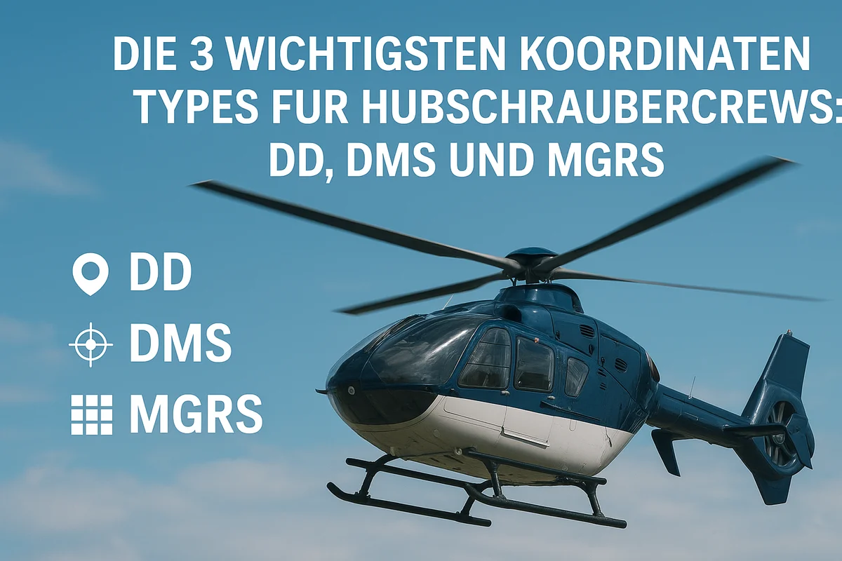
Die 3 wichtigsten Koordinatensysteme für Hubschrauber und ihre Bedeutung
Jedes System zu verstehen und zu wissen, wann es verwendet werden sollte. Lassen Sie uns die wichtigsten Koordinaten durchgehen, die jeder Pilot kennen sollte!
In diesem Blogbeitrag werden wir diese drei Koordinatensysteme erläutern, ihre Unterschiede aufzeigen und erklären, warum es für Hubschrauberbesatzungen entscheidend ist, …
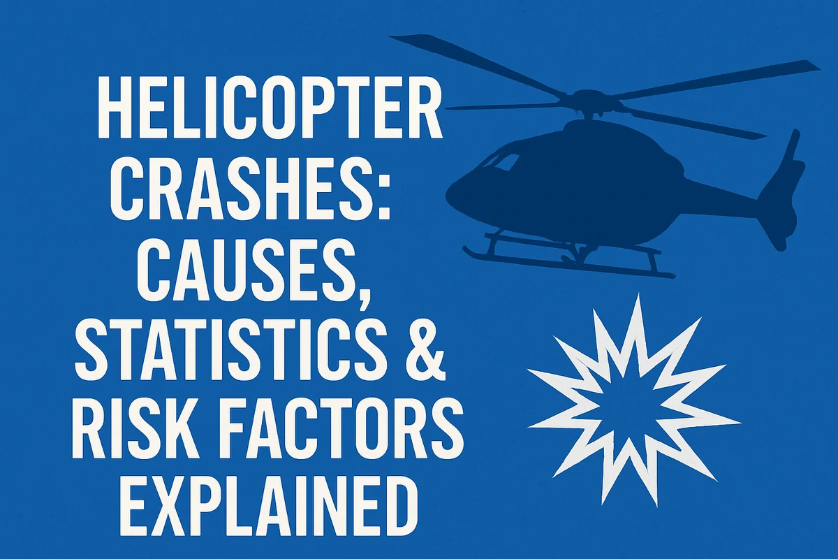
Helicopter Crashes: Causes, Statistics & Risk Factors Explained
Helicopters operate in some of the harshest and most complex environments — mountain rescue, offshore transport, low-level inspections, medical emergencies, construction, agriculture and more. Naturally, this raises the question: What actually causes helicopter crashes?
Helicopters operate in some of the harshest and most complex environments — mountain rescue, offshore transport, low-level inspections, medical emergencies, …
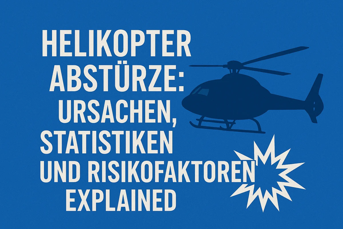
Helikopterabstürze: Ursachen, Statistiken und Risikofaktoren
Warum ist der Anteil der Pilotenfehler so hoch?
Helikopter gehören zu den vielseitigsten Luftfahrzeugen der Welt – sie operieren in Städten, auf Offshore-Plattformen, in Gebirgen, bei Rettungseinsätzen und …

Transformieren Sie Ihre Flugplanung mit professioneller Koordinatenumwandlung
Warum Koordinatenumwandlung in der Luftfahrt wichtig ist Für Hubschrauberpiloten
Präzise Navigation ist für Luftfahrtprofis essenziell, um Sicherheit, Effizienz und Vorschriften einzuhalten. Eine genaue Koordinatenumwandlung ist besonders wichtig, sei es …

Commercialization of Flight Safety Information – A Hidden Risk in Modern Aviation?
Many states technically publish their aeronautical data for free, but often in formats that are impractical or outdated...
Many states technically publish their aeronautical data for free, but often in formats that are impractical or outdated: scattered PDFs, …

Kommerzialisierung sicherheitsrelevanter Fluginformationen – ein Risiko für die Luftfahrt?
Wenn Sicherheit wirklich oberste Priorität hat, darf Information kein Geschäftsmodell sein.
Viele Staaten veröffentlichen ihre Daten zwar offiziell frei zugänglich, aber oft in Formaten, die nur schwer nutzbar sind: PDF-Flickwerk, unstrukturierte …
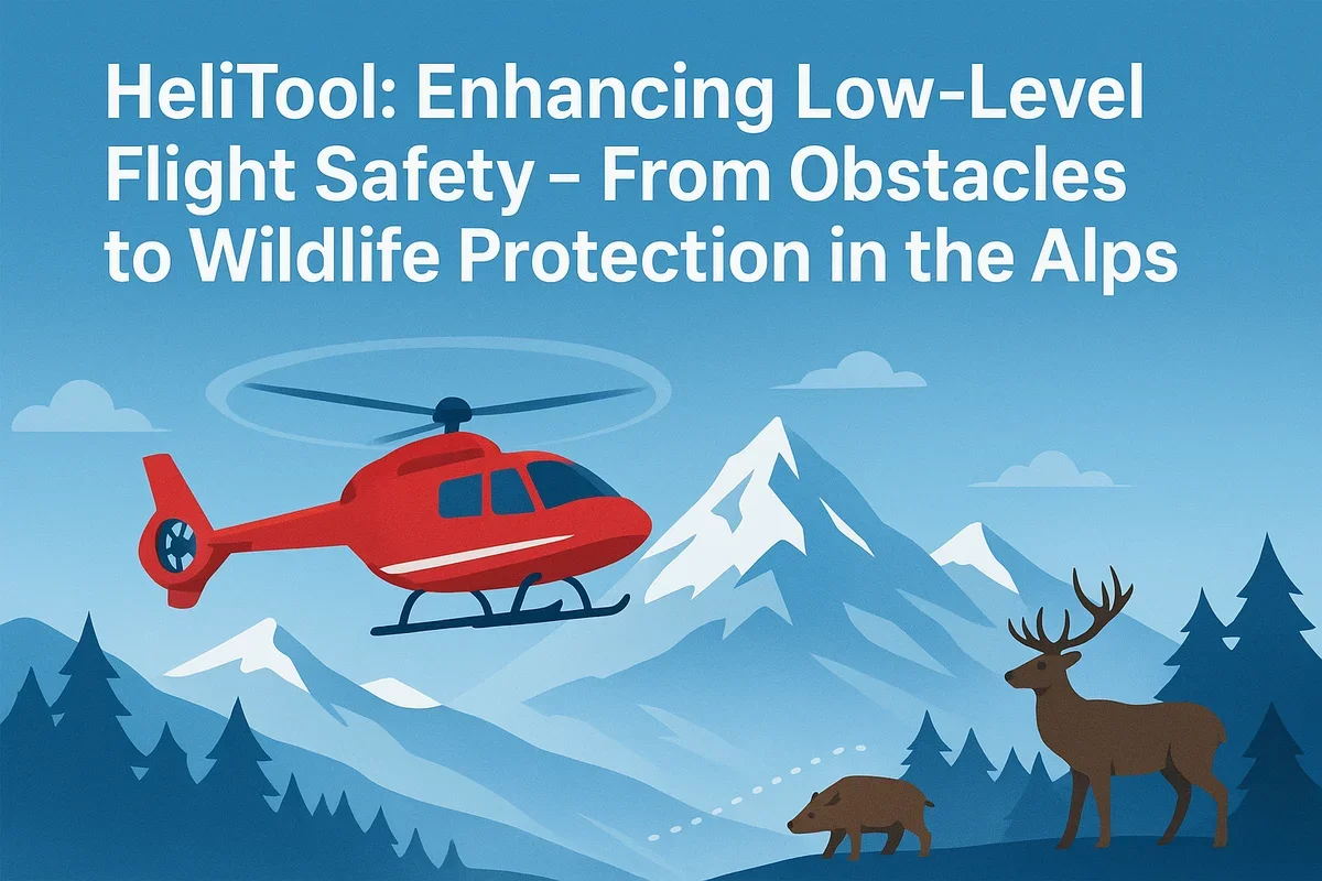
HeliTool: Enhancing Low-Level Flight Safety – From Obstacles to Wildlife Protection in the Alps
HeliTool provides a solution by offering a comprehensive set of obstacle data and specialized map layers tailored specifically to the needs of the low-flying community.
Our mission with HeliTool is to deliver a modern, practical, and open source of information for everyone involved in low-level …

Tieftflug in den Alpen – besondere Herausforderungen
Eine zentrale Informationsquelle für sichere Tiefflüge
Mit HeliTool möchten wir eine moderne, praxisnahe und offene Informationsbasis schaffen – für alle, die in niedrigen Höhen unterwegs sind. …
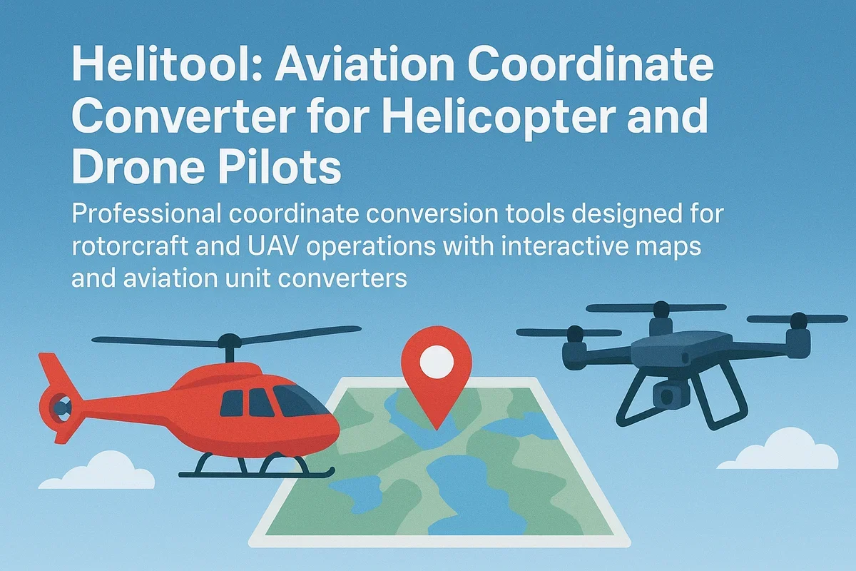
Aviation Coordinate Converter for Helicopter and Drone Pilots
Professional coordinate conversion tools designed for rotorcraft and UAV operations with interactive maps and aviation unit converters
Discover how HeliTool's Aviation Coordinate Converter revolutionizes navigation for helicopter and UAV pilots with seamless conversion between ICAO, MGRS, DMS, …